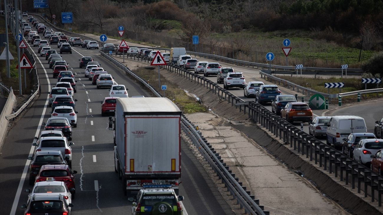
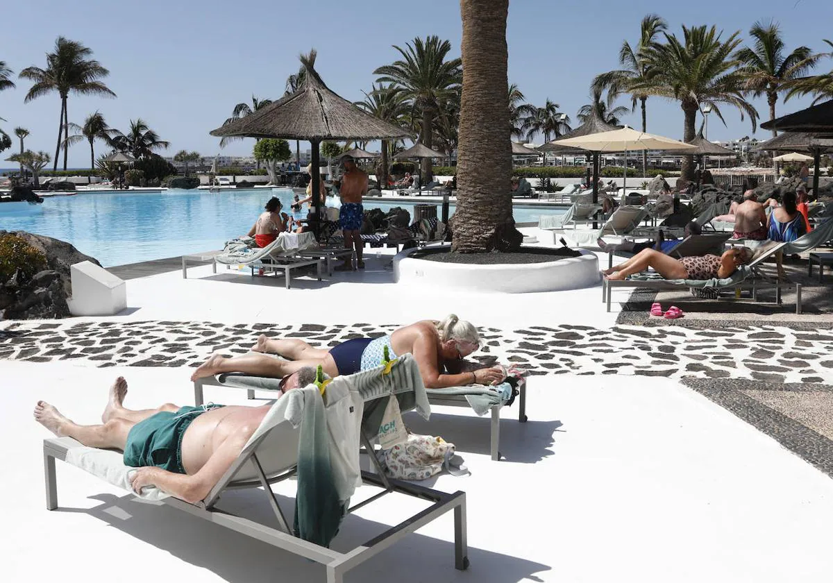
Week with heat of May in the middle of winter

The Atlantic front that arrived last Sunday in Spain will leave on Tuesday some last drops of weak rain in the Bay of Biscay and perhaps other points of the western half of the peninsula, before the spring time is ahead this penultimate week of February in practically all Spain, with temperatures more typical of mid-May that will exceed between 5 and 10 degrees normal values.
The prediction of the State Meteorological Agency (Aemet), collected by Servimedia, indicates that this Tuesday will rain weakly in the Bay of Biscay, where they will open gaps in the sky. In the North Plateau, Extremadura, Western Andalusia, Ceuta and Melilla there could also be occasional, weak and scattered rains during the first half of the day.
Temperatures will rise in the western third of the peninsula. The hottest capitals will be Córdoba (21ºC); Las Palmas de Gran Canaria, Santa Cruz de Tenerife and Seville (20), and Almeria, Murcia and Palma de Mallorca (19), while the environment will be milder in León (12), A Coruña (13) and Ávila and Zamora (14).
On the other hand, as the week progresses, the thermal oscillation will increase, that is, the difference between day and night temperatures, which in average Spain will be 20 degrees or more. For example, Cordoba is expected to have 28 degrees of maximum and 3 of minimum.
"Hot" week
One of the spokesmen of the Aemet, Rubén del Campo, told Servimedia that this week will be "hot" and the dry weather will prevail, except for some rains this Monday in the west of the peninsula. "There is an anticyclone centered in the interior of Western Europe, which in the coming days will send us warm air masses, the south winds will favor the presence of clear skies and the heating of the surface, which will give us high temperatures for the time "he commented.
Del Campo said that night temperatures this week will be "normal", but daytime temperatures will be between 5 and 10 degrees higher than usual in "practically the whole peninsula" as of Friday, and even between 10 and 15 degrees higher than normal in the North Plateau and the Central System.
"Temperatures are clearly spring, Friday and Saturday even own mid-May, full spring," he added, when there is still more than a month to get this season.
Del Campo indicated that at night there will be "quite a marked cooling" because the clear sky favors the escape of heat into the atmosphere, which is expected "thermal amplitudes that can exceed 20 degrees in many places."
Thus, the temperature difference between day and night will be at least 20 degrees in 24 provincial capitals starting on Thursday, with the highest thermal oscillations in Córdoba (25 degrees between maximum and minimum); Salamanca and Soria (24); Badajoz, Cuenca and Girona (23); Ciudad Real and Palencia (22); Bilbao, León, Seville, Teruel, Toledo and Valladolid (21), and Albacete, Burgos, Guadalajara, Lleida, Lugo, Madrid, Ourense, Vitoria, Zamora and Zaragoza (20).
The most intense heat in this penultimate week of February will arrive on Saturday and Sunday, when the thermometers could signal 28ºC in Córdoba; 27 in Seville; 25 in Badajoz, Guadalajara, Las Palmas de Gran Canaria, Santa Cruz de Tenerife and Toledo, and 24 in Bilbao, Ciudad Real, Cuenca, Granada, Madrid, Ourense and Pontevedra. "Almost total absence of rain, high temperatures for the season, cool nights and a lot of thermal amplitude will mark this week", summarized Del Campo.