This is how active fires evolve in Spain

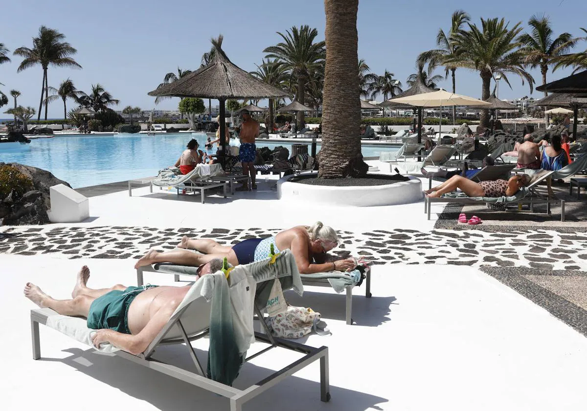
Heat waves create the perfect breeding ground for large and very devastating forest fires break out. The two that Spain has gone through in June and July reiterate this. The climate crisis has exacerbated and multiplied hot spikes around the world. Spain has not escaped. So far in 2022, satellite images show the destruction of 280,000 hectares.
Precisely a heat wave, the one in mid-June, caused the devastation to take a very big jump. The Ecological Transition statistics went from 25,000 to 73,000 hectares. Almost triple. Then has come the next heat wave of July 2022 and its fiery sweep.
The following map shows the active foci in the last two days that have been detected NASA's VIIRS satellites in Spain. The US aerospace agency uses satellite images to identify active fires and thermal anomalies around the planet.
The European Forest Fire Information System (EFFIS) points out that this 2022 is being the most devastating fire season since the system was launched in 2000. This calculation only includes fires of more than 30 hectares that have been identified by satellite images and of which measured the surface. Never before have so many burned areas been detected from space as in the months that we have been in 2022.
Climate crisis and big fires
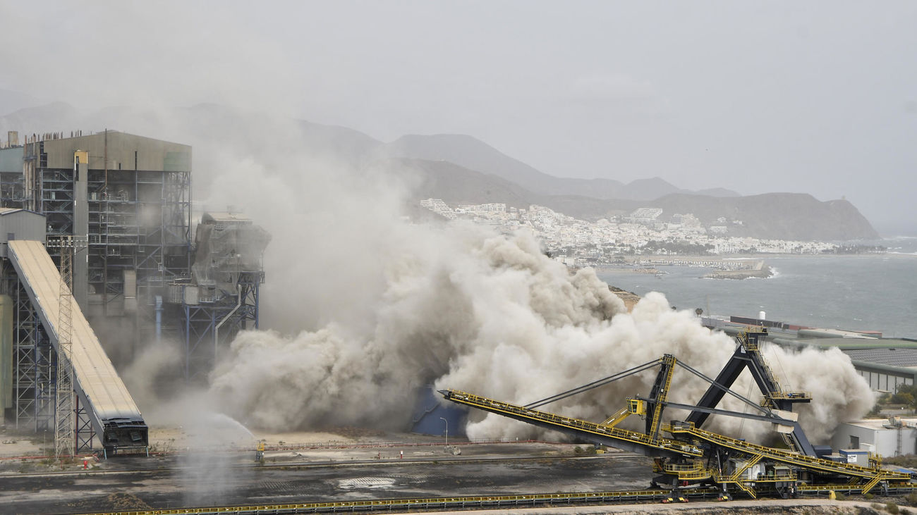
The proliferation of large forest fires, sometimes impossible to extinguish, is one of the consequences, warned for a long time, of the alteration of the climate that has generated the greenhouse effect of human gas emissions in the atmosphere. The fire suffered in the region of Tábara (Zamora) in July 2022 has been the most destructive in the history of Castilla y León. The previous worst incident dated from... June 2022 in the Sierra de la Culebra. The immediately previous one took place in Ávila, in 2021. Those of Pobra do Brollón and Valdeorras (Galicia) they are the most destructive since there are records for the autonomous community.
The comparison of Copernicus data (European Forest Fire System) with the figures of burned area from the Ministry of Ecological Transition they point out that 2022 is not only the most devastating year of the 21st century, but that it will be the worst season in burned areas since at least 1994. That year thousands of hectares burned in an inferno of smoke and flames that was especially fattened with the Mediterranean provinces .
The following graph compares the area burned by forest fires in Spain according to the statistics of the Government and the communities until 2021, more exhaustive but updated with more delay, and the area burned that the Copernicus program has detected, which only includes fires of more than 30 hectares that have been tracked through satellite images between 2000 and so far in 2022.
Most of the hectares burned this summer have coincided with days when Spain was in a heat wave. During the eight days that the episode of extreme temperatures lasted in June, 34 fires started, burning almost 50,000 hectares. In the July heat wave, which lasted nine days, 56 fires burned, burning more than twice the number of hectares, 121,000, according to provisional data from the European Forest Fire System (EFFIS).
Meteorological risk of fires on the rise
The point is that there is an increasing meteorological risk of fires. The fire season is marked by the weather. High temperatures, low rainfall, wind... prepare many places to burn more frequently by increasing the flammability of the vegetation. Both seasons and the conditions for extreme fires – basically those brought about by heat waves – “have become more common around the world”, as this research attests.
Researchers divide the globe into ecoregions. These are vast expanses of the planet with a more or less common climate, geography, flora and fauna. Most of Spain is embedded in the Mediterranean ecoregion, one of the hardest hit by fires: the season here has grown by 54% in four decades.
Fires of great intensity and dimensions such as those in Zamora, Cáceres (Ladrillar) or Lugo (Pobra do Brollón) point to a phenomenon that has intensified in recent decades in Spain: the rise of large forest fires (more than 500 hectares) . They are few, but devastating.
The difference is that now they spread more: on average, each large fire burns almost twice as much surface area as it did 30 years ago. The data for 2022 proves it: the provisional information from Copernicus indicates that several fires this year would be placed in the ranking of fires with the most area burned since 1968.
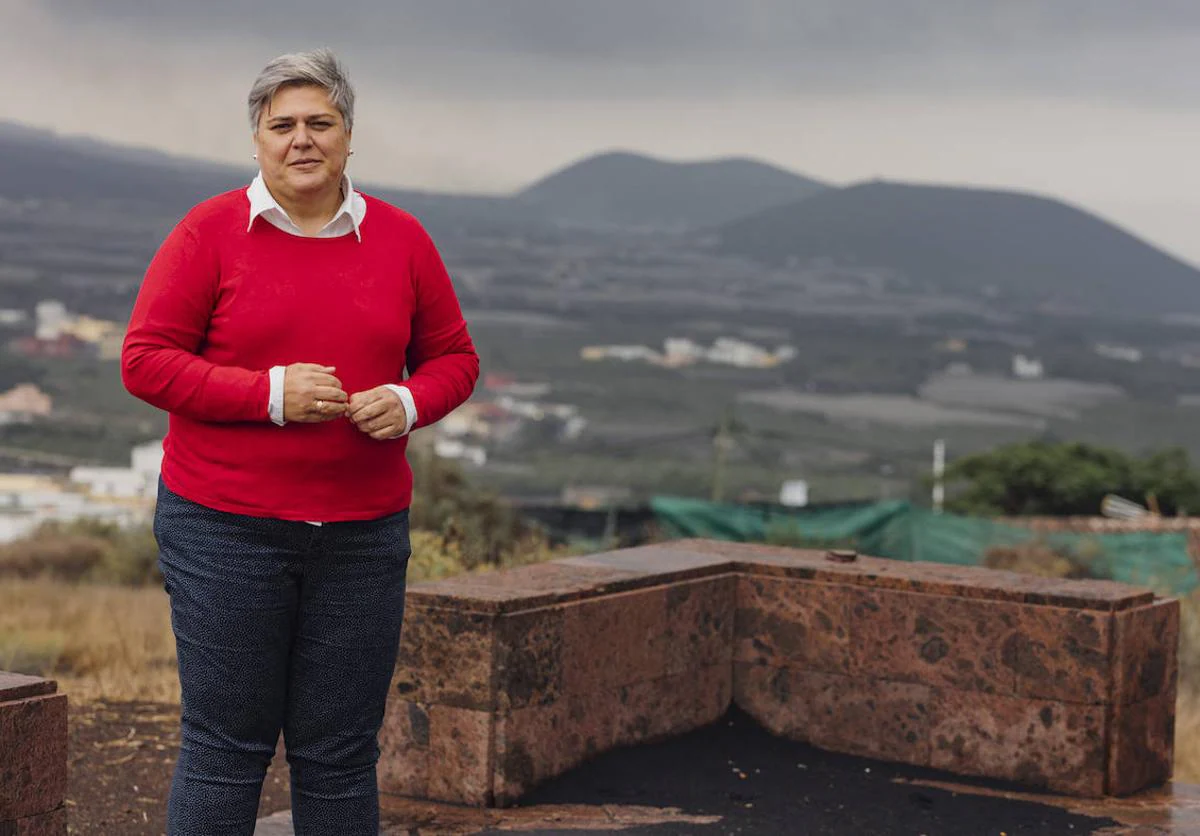
Federico Grillo, head of Emergency of the Cabildo de Tenerife, already warned of this phenomenon during the fires of Gran Canaria in 2019. “It is happening in other places: fires that have never been seen, with lengths of flames and a speed of propagation that seem more like firestorms than a conventional fire and it costs us more and more”, according to Canarias Ahora.
To see how these large fires burned hectares of vegetation in a few days or even hours, in the following graphs you can see a sequence of satellite images of the main fires that have burned thousands of hectares in 2022.
More than 19,000 hectares burned in Castellón
Source: Copernicus
On August 15, a forest fire began in Bejís, Castellón, which satellite images estimate has already burned more than 19,000 hectares. The fire is still active and the confinements that were decreed yesterday in Alcublas and Andilla are maintained, as well as the evictions of three villages belonging to the latter Valencian town.
More than 12,000 hectares burned in Alicante
Source: Copernicus
The forest fire in Vall d'Ebo (Alicante) has already burned more than 12,000 hectares, according to satellite images, and is among the most devastating in the last half century. It began on August 13 and forced the eviction of 1,200 people. The flames remained at the gates of the municipality of Pego, as seen in satellite images.
More than 9,000 hectares burned in Zaragoza
Source: Copernicus
The Añón de Moncayo fire in Zaragoza has become the second most devastating fire of the year in the province which, according to initial calculations, has devastated an area of 9,000 hectares. The flames forced the emergency services to evacuate around 1,500 people (all the inhabitants of that town, as well as an urbanization and other nearby towns). It is already stabilized, although "not controlled".
60,000 hectares burned in two large fires
Source: Copernicus
The province of Zamora has experienced two of the worst fires in its history this summer. The first began on June 16 in the Sierra de la Culebra and burned at least 28,000 hectares, according to data from Copernicus. Barely a month later, another fire in the adjoining area of the Tábara region destroyed another 32,000 hectares. The final balance is two deceased and a dozen injured.
More than 12,000 hectares burned in Cáceres
Source: Copernicus
The Las Hurdes fire, in Cáceres, began in the municipality of Ladrillar on July 11 and has accumulated a total of 12,000 hectares devastated in seven days, according to provisional data estimated from Copernicus satellite images.
More than 25,000 hectares burned in Ourense and Lugo
Source: Copernicus
In Galicia, the fires in Pobra do Brollón (Lugo) and Carballeda (Ourense), which started on July 14 very close to each other, are still active. Together they add up to more than 24,000 hectares burned.
More than 14,000 hectares burned in Zaragoza
Source: Copernicus
In Aragon, the Ateca fire has already become the second most destructive in the history of the community. Started on July 18, the fire destroyed more than 14,000 hectares.
Fewer hectares are burned but more and more in large fires
In the 1980s, an average of more than 200,000 hectares were burned annually. In recent years, this figure has more than halved. However, the area killed by a single fire today is much larger than it was thirty or forty years ago.
If we look at the average area burned in each major fire, in 1990 the average area was 1,180 hectares. In 2021 it had risen to almost 2,000 hectares, 65% more.
The worsening trend has led the European Forest Fire Information System to add a new danger threshold in 2021: "Very extreme level" to apply to the context that has been created, precisely, in the Mediterranean region during the summer months. The researcher from the joint research institute University of Oviedo-CSIC Carmen Santín analyzed in the midst of a wave of fires: "Climate change is making it easier for there to be more and more serious fires."