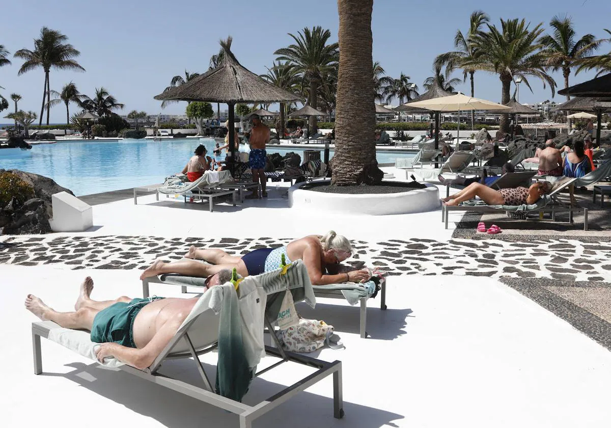
Summer temperatures in the middle of winter: the Canarian capitals will reach 27 degrees on Thursday
The skies will be this Thursday slightly cloudy with medium and high cloud intervalsthere will be slight hazetending to refer, temperatures will experience a slight risehigher than normal values at this time of year, and the wind will be from the southeast in the eastern province and from the east in the western province.
According to Meteorology Statal Agency (Aemet), in the eastern islands there will be intervals of strong wind and occasional very strong gusts on the western slopes of Lanzarote and of Fuerteventuraas well as on the island of the gracefulduring the first half of the day.
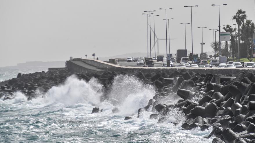
As for the state of the sea, it announces wind from the south and southeast of force 3 or 4, 3 to 5 and locally 6 in Lanzarote and Fuerteventura; on the north and northwest coasts, it will be a force variable of 2. There will be a swell or rippled sea and a storm surge.
North or northwest swell is expected with waves of 1 to 2 meters that could increase to 2 or 3 meters, locally in the eastern islands with temporary visibility.
The weather forecast for this Thursday, by islands, is as follows:
LANZAROTE
Intervals of medium and high clouds with slight haze, tending to remit. Minimum temperatures in slight decrease and maximum in slight rise, especially in the northern half. Southeast wind with strong intervals and occasional very strong gusts on the western slope and on the island of La Graciosa during the first half of the day.
FORECAST MINIMUM AND MAXIMUM TEMPERATURES (°C):
Reef 17 26
FUERTEVENTURA
Intervals of medium and high clouds with slight haze, tending to remit. Minimum temperatures in slight decrease and maximum in slight rise, especially in the northern half. Southeast wind with strong intervals and occasional very strong gusts on the west slope during the first half of the day.
FORECAST MINIMUM AND MAXIMUM TEMPERATURES (°C):
Puerto del Rosario 17 24
GRAND CANARY
Intervals of medium and high clouds with slight haze, tending to remit. Temperatures in general in slight rise. Southeast wind, occasionally strong on southwest and northeast slopes in the early hours and decreasing to light during the afternoon.
FORECAST MINIMUM AND MAXIMUM TEMPERATURES (°C):
Las Palmas de Gran Canaria, 18 27
TENERIFE
Predominance of slightly cloudy skies with intervals of medium and high clouds and slight haze. Temperatures slightly rising. Wind from east to southeast component, more intense in the extreme northeast and on the west slope during central hours.
FORECAST MINIMUM AND MAXIMUM TEMPERATURES (°C):
Santa Cruz de Tenerife 17 27
LA GOMERA
Predominance of slightly cloudy skies with intervals of medium and high clouds and slight haze. Temperatures slightly rising. Wind from the southeast to the east component, more intense on peaks and slopes exposed during the central hours.
FORECAST MINIMUM AND MAXIMUM TEMPERATURES (°C):
San Sebastian de la Gomera 18 26
La Palma
Predominance of slightly cloudy skies with intervals of medium and high clouds. Temperatures slightly rising. East component wind, more intense in the extreme south and northeast slope during the central hours.
FORECAST MINIMUM AND MAXIMUM TEMPERATURES (°C):
Holy Cross of La Palma 17 25
El Hierro
Predominance of slightly cloudy skies with slight haze. Temperatures slightly rising. East component wind, more intense in extreme northwest and northeast and in exposed summits during central hours.
FORECAST MINIMUM AND MAXIMUM TEMPERATURES (°C):
Valverde 14 21